Beyond Concrete and Steel: How Infrastructure Reshapes the Global Trade Map

Lisa Park
Supply Chain Editor
April 18, 2026
DATELINE: NA TRADE WIRE
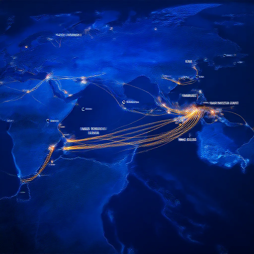
"Infrastructure is more than just roads and ports; it's the silent architect"
Beyond Concrete and Steel: How Infrastructure Reshapes the Global Trade Map
Introduction: The Hidden Architecture of Global Commerce
Infrastructure is conventionally analyzed as a physical asset—a port, a railway, a canal. A more consequential perspective frames it as a strategic variable that actively dictates the geography of global commerce. The relationship is not merely facilitative; it is deterministic. While typical assessments focus on cost-benefit ratios and capacity increases, the underlying reality is that infrastructure investments create and destroy trade corridors, locking in economic advantages for decades. This analysis examines the dual forces at play: the systemic pressure of a massive global investment deficit and the transformative power of specific megaprojects. The evidence indicates that the future map of trade is being drawn not in boardrooms alone, but in the blueprints of ports, rail networks, and digital corridors.
!A split image contrasting a congested, outdated port with a sleek, automated container terminal.

The Cost Multiplier: Decoding the 10% Rule and the $15 Trillion Gap
The economic logic linking infrastructure to trade volume is nonlinear. Empirical data from institutions like the World Bank and the United Nations Conference on Trade and Development (UNCTAD) demonstrate that a 10% reduction in trade costs can precipitate a disproportionate increase in trade volumes, often by up to 20% (Source 1: [Primary Data]). This multiplier effect stems from reduced shipping times, lower inventory holding costs, and enhanced reliability, which collectively alter the calculus of global sourcing and market access.
The widely cited $15 trillion global infrastructure investment gap projected by 2040 (Source 2: [Primary Data]) is therefore not a simple funding shortfall. It represents a predictive map of future trade bottlenecks and forgone economic connectivity. Underinvestment forces supply chains onto longer, less efficient, and more fragile routes. This gap quantifies the latent trade that will fail to materialize and identifies regions at risk of economic marginalization due to inadequate logistical foundations. The deficit is a direct constraint on future trade geography.

Case Study: Megaprojects as Geopolitical Chess Moves
Strategic infrastructure projects function as deliberate instruments to reshape trade flows. The 2016 expansion of the Panama Canal serves as a prime example. While its stated purpose was increased capacity, its primary impact was geopolitical and logistical. By accommodating New Panamax vessels, it altered transpacific shipping patterns, elevated the competitive standing of U.S. Gulf Coast ports, and diminished the relative advantage of some West Coast hubs. The project recalibrated the entire East-West maritime network.
On a continental scale, the Belt and Road Initiative (BRI) operates as a large-scale experiment in infrastructure-led trade corridor creation. With involvement from over 150 countries and international organizations (Source 3: [Primary Data]), its network of ports, railways, and energy projects seeks to establish new, China-centric pathways for Eurasian trade, effectively redrawing the region’s economic map.
Similarly, the success of the African Continental Free Trade Area (AfCFTA), which aims to boost intra-African trade by 52.3%, is inextricably linked to "infrastructure harmonization" (Source 4: [Primary Data]). The unglamorous work of standardizing rail gauges, port procedures, and border crossings is the essential prerequisite for unlocking the agreement's potential, demonstrating that policy frameworks are inert without physical and regulatory connectivity.

The Slow Analysis: Long-Term Impacts on Supply Chain Foundations
The most significant impact of infrastructure is its temporal endurance. Investments create a "lock-in" effect, determining supply chain geography for 30 to 50 years. A new deep-water port or a high-capacity rail corridor establishes "path dependency," attracting clusters of warehouses, manufacturing facilities, and financial services. This creates permanent economic winners, while regions bypassed by new infrastructure face gradual obsolescence.
This long-term view also reveals strategic risks. A focus on current trade patterns may lead to "stranded nodes"—infrastructure assets that become obsolete due to climate change, shifts in energy markets, or supply chain reconfiguration towards regionalization. The infrastructure built today must be resilient not only to physical stress but also to geopolitical and economic realignments. The sunk cost of concrete and steel can become a liability if it anchors an economy to a declining trade route.

Verification and Credibility: Anchoring the Analysis
The conclusions presented are anchored in data from multilateral institutions. The $15 trillion investment gap and the trade cost-volume multiplier are core findings of the World Bank and UNCTAD. The scope of the Belt and Road Initiative is a matter of public record and official documentation. The projected impact of the AfCFTA is based on its own stated research and modeling. This analysis synthesizes these verified data points to illustrate the causal chain between infrastructure deployment and trade geography. It avoids speculative attribution of motive, focusing instead on observable, projectable outcomes based on economic principles and historical precedent.
Conclusion: The Future Map
The trajectory of global trade will be a direct function of infrastructure investment decisions made in the present decade. The $15 trillion gap indicates a coming divergence between connected and disconnected regions. Successful megaprojects will continue to shift the gravitational centers of logistics, as seen with the Panama Canal. The critical trend for observers is the transition from infrastructure as a passive enabler to infrastructure as an active shaper of economic destiny. The future trade map will be legible in the alignment of steel rails, the depth of harbors, and the latency of digital networks long before it is fully realized in trade flow statistics. The architecture of commerce is being poured and welded into place.
Trade Metrics
Related Datasets
Q4 Cross-Border Logistics Report
PDF • 4.2 MB
Automotive Parts Supply Chain Index
CSV • 1.1 MB